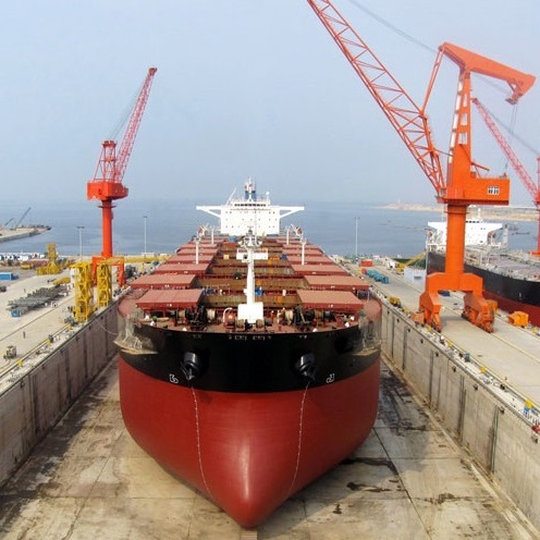
WIKISHIPIA - MARITIME TOOLS
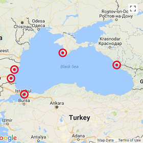
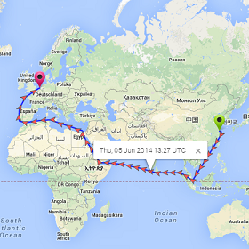
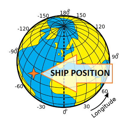
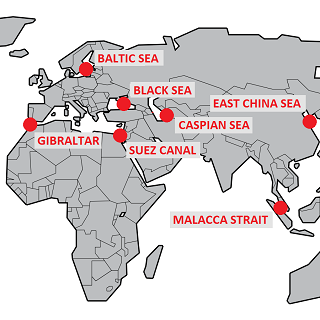
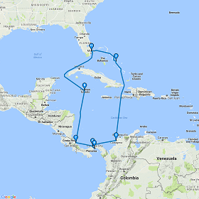
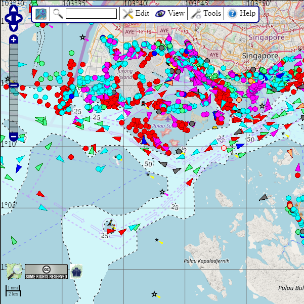
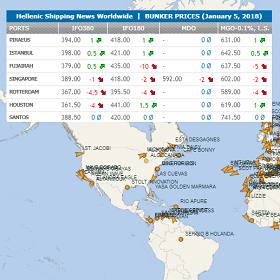
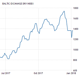
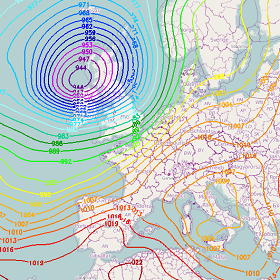
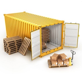
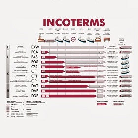
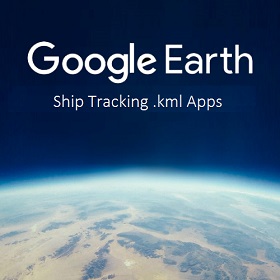
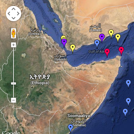
Find a Shipyard or Ship Supplier. Locate Ships by Geo Coordinates. Search by IMO & MMSI number. Track Container Shipment and stay informed for Container Ships' Schedules. Calculate Sea Distances between any two ports and find the shortest route. Discover ocean depths, wind speed, tides, waves height, lighthouse range and positions as well as maritime weather by our Nautical Map. Arrange Pallets in Container properly. Visit your favorite Cruise Ports and download Google Earth Trackers, inspect piracy incidents maps, check daily Baltic Dry Index values and Bunker Prices. Incoterms Commercial Terms.